Location of Clontuskert
We highlight our location below, using a general map of Ireland, then a map the central portion of the country and finally a detailed map of Clontuskert parish.
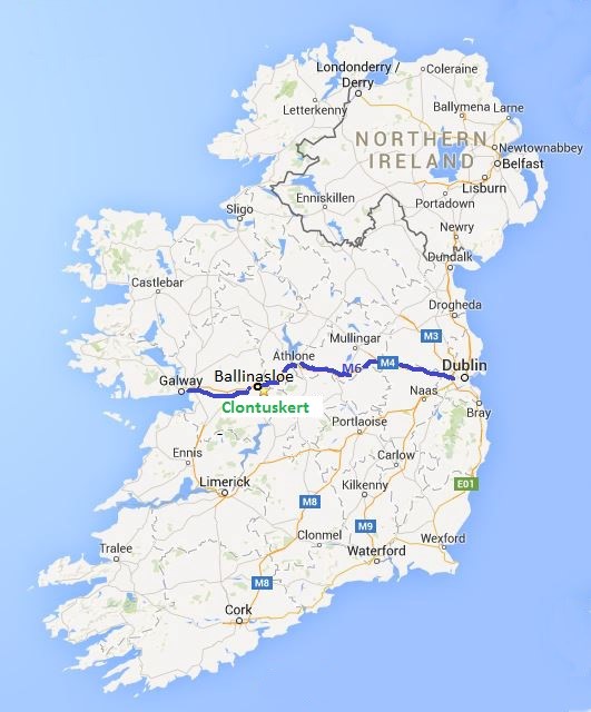
The parish of Clontuskert is situated on the eastern edge of County Galway in the West of
Ireland. Galway itself is a very large county and is a well known tourist destination.
The map of Ireland on the left highlights the location of Ballinasloe which is the closest town and just to the north of Clontuskert.
The blue line passing east-west at Ballinasloe, is the M4/M6 motorway linking the cities of Galway and Dublin. Clontuskert parish is shown just to the south of Ballinasloe.
The next map shows the outline of Clontuskert and the roads mentioned above. This map may be slow to load as it is in high resolution. You can enlarge this map to see a high level of detail by typing "Ctrl + " in your browser. For a better view or to download this map , please click here. The individual black dots on the map when viewed in detail represent houses!
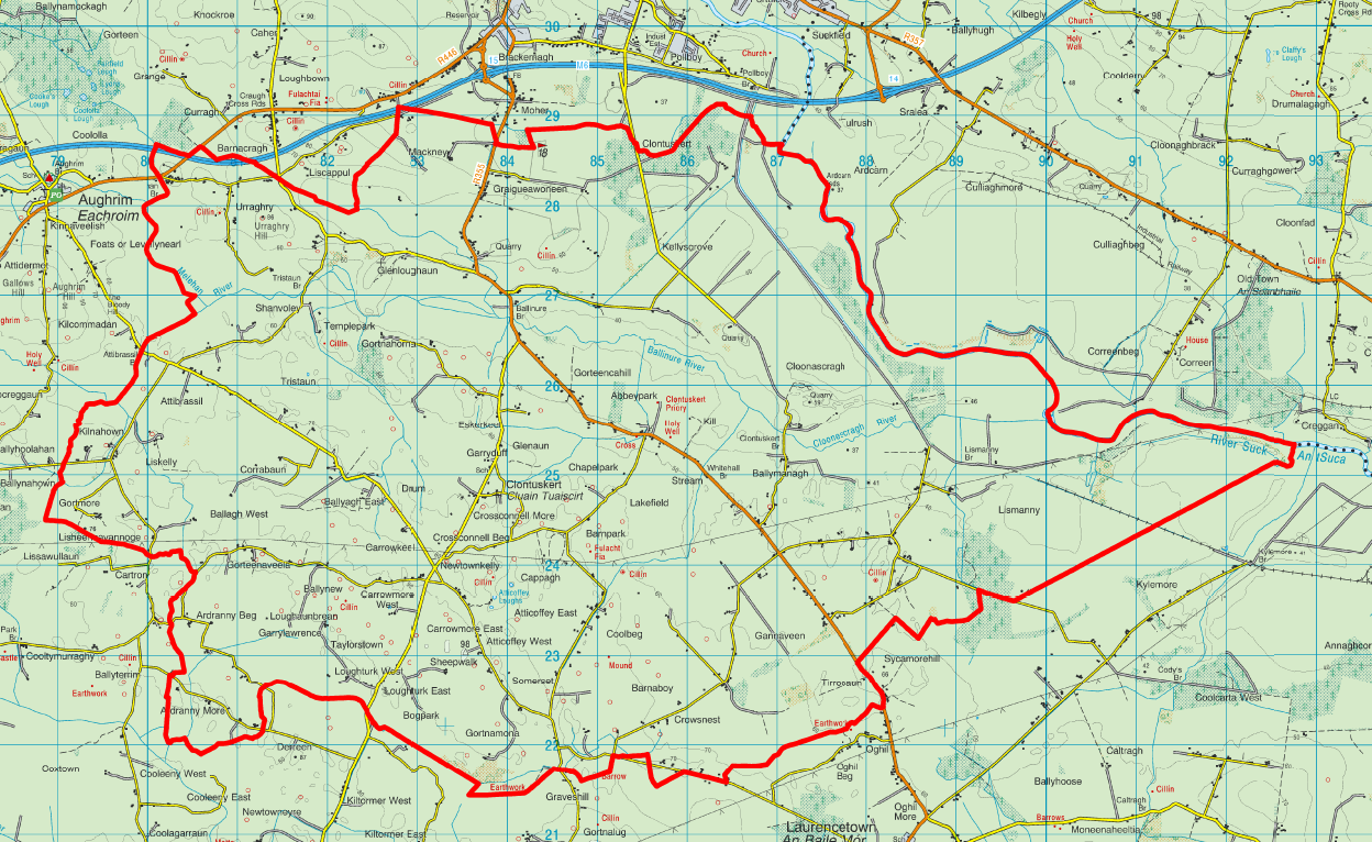
The Townlands page shows Clontuskert divided into its sixty-four townlands.